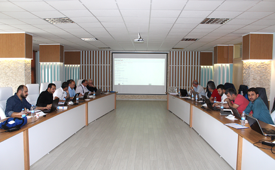
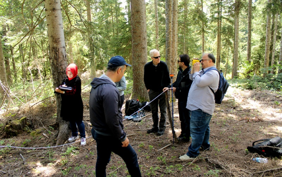
A workshop on assessing and analyzing multi-species natural forest in Turkey was held in Artvin, Turkey in May, with the participation of 20 foresters, scholars, and graduate students. The workshop consisted of two days of field survey, measuring naturally mixed forests (spruce, scotch pine, and beech), two days of data analysis with R software, and one day of training for preparing scientific paper. In addition, visits to three national parks as well as Sumela Monastry were carried out.
Soil erosion by water is one of the most important environmental problems in Turkey as well as many mountainous countries in the world. Because the average elevation in Turkey is about 1150 m which is nearly four times higher than that of Europe. On the other hand, scientific studies in Turkey focus more on the modeling and mapping of provisioning ecosystem services (ES). This lead to huge shortcomings in terms of incorporating regulating ESs into forest management planning processes. Therefore, these theoretical studies cannot be properly translated into forestry practices on-the-ground. Thus, a PhD study from Res. Asst. Can Vatandaslar is conducted to integrate one regulating ES (erosion control & soil protection) into the forest planning system of Turkey, by developing useful indicators to be collected at field inventory stage and generating an erosion risk map at planning unit level. In addition, putting forward the soil protection performances of different stand types and determining the annual allowable cut (aac) accordingly are among the goals.
In this context, several field visits will be conducted to Artvin`s and Erzurum`s forests in the summer of 2018. The former is managed by uneven-aged silvicultural system while the latter is managed by even-aged system. During these visits, soil samples will be collected in each plot along with traditional forest inventory measurements. Then, the parameters regarding soil characteristics will be attributed to the forest structure. Thus, it is expected that useful indicators can be developed for decision making. Based on these indicators, erosion control service of forests will be modeled and mapped.
Read more about the activities of this working group – SWG 3 – ES in Forestry Production Systems.


